Tascosa to Dodge City Route Through the High Plains
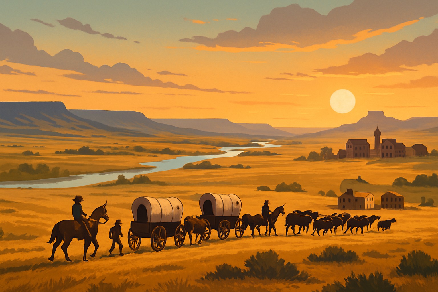
The route from Tascosa to Dodge City winds across the vast High Plains and was a vital artery for cattle drives, trade and migration in the 19th century. This trail connected rugged frontier settlements and quietly fueled cultural exchange and economic growth across the American West.
Geographical Setting Taking a Closer Look at the High Plains Landscape
The High Plains stretch over a vast expanse of flat to gently rolling land that spills across parts of Texas, Oklahoma, Kansas and further north. Famous for its semi-arid climate and sparse vegetation, this region has shaped the way trails like the Tascosa to Dodge City route were mapped out and traveled. The endlessly wide-open skies seem to go on forever.
- The High Plains generally sit between 3,000 and 5,000 feet in elevation and offer broad flat stretches made for overland travel—no climbing Everest here thankfully.
- The landscape stays mostly flat with the occasional butte or shallow valley that steer those on the move.
- This region tends to be semi-arid with rainfall playing hard to get which leads to dry conditions and limited water sources.
- Key rivers like the Canadian River and Arkansas River come to the rescue as vital watering spots along the route—real lifesavers in these parts.
- Vegetation is mostly grasslands and sagebrush, perfect for grazing critters, while forests are as rare as a rainy day in the desert.
Historical Context The Story Behind the Route from Tascosa to Dodge City
Tascosa and Dodge City weren’t just dots on the map—they were lively frontier towns that truly mattered, acting as bustling hubs for cattle trade and settlement. As the cattle economy boomed and railroads pushed further west, the pressure mounted to find reliable overland routes connecting Texas ranches with Kansas livestock markets.
- Cattle drives from Texas ranches needed well-worn routes north to railheads in Kansas where the real action began.
- Trading posts and the constant demands for supplies nudged people to carve out direct practical paths—no time for detours when you’re herding cattle.
- The railroad’s steady growth through Dodge City gave the town a boost and turned it into a bustling hub for shipping cattle across the country.
- Ongoing interactions with Native American tribes shaped these routes and required balancing safety and diplomacy—nothing was ever straightforward.
- Over time, settlements popped up along the way and grew into towns that offered a welcome pit stop for travelers and an essential backbone for trade.
Route Description Your Handy Step-by-Step Guide from Tascosa to Dodge City
Traveling northwest from Tascosa to Dodge City sweeps you across vast open plains and meanders along natural river valleys while winding past some historic settlements. The route bends to follow water sources and easier terrain. It shifts from dry sun-baked grasslands into softly rolling hills as it draws nearer to Kansas.
Kick off your journey in Tascosa near the southern twists of the Canadian River and make the most of the easy-to-reach riverbanks for water and grazing spots.
Trek north across mostly flat dry grasslands and keep a keen eye out to avoid pesky shallow buttes and tricky badlands.
Cross the Canadian River near what we now know as Perryton, a natural and reliable crossing point.
Head northeast toward Beaver and stick close to smaller creek valleys where you can occasionally find water and shelter—a welcome reprieve.
As you near Kansas, the terrain softens into gentle rolling hills with the Arkansas River as a trusty landmark just shy of the state line.
Wrap up your trek in Dodge City, a railhead town that’s played a starring role in cattle shipping and trade along the Arkansas River.
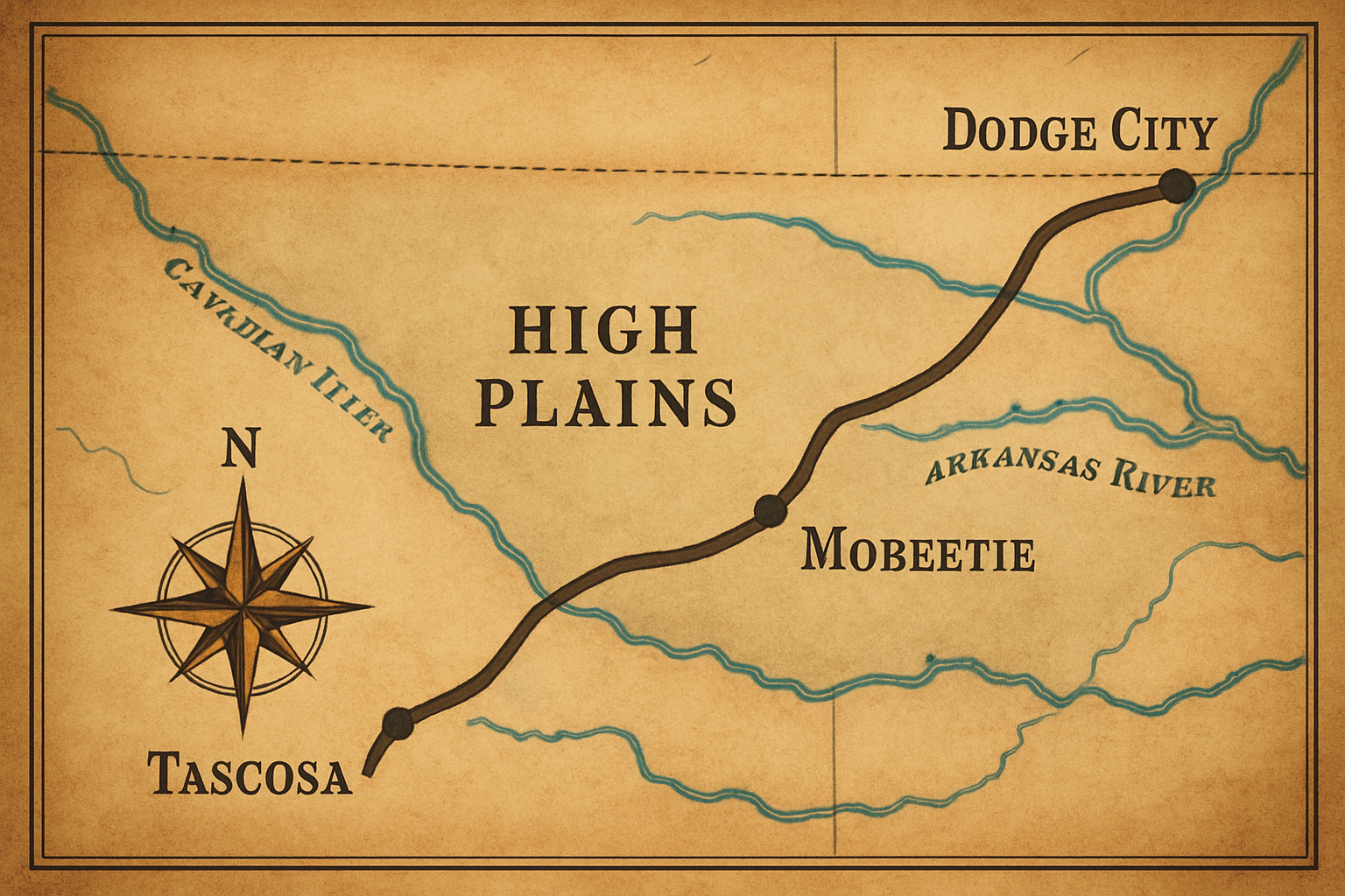
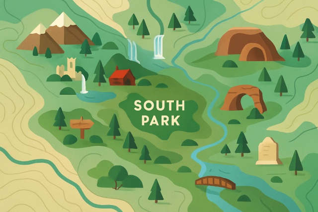
A historically inspired map tracing the route between Tascosa and Dodge City over the High Plains, emphasizing rivers, stops, and terrain.
The Hiccups Travelers Faced on the Route from Tascosa to Dodge City
Traveling this route meant braving tough environmental hurdles such as scarce water sources and tricky terrain. There was also the ever-present shadow of hostile groups or bandits lurking about.
- Water sources were often few and far between and showed up only seasonally. Travelers had to plan their routes carefully around rivers and streams to avoid running dry.
- Harsh weather ranged from scorching summers to bone-chilling winters and always kept individuals on their toes.
- Clashes with Native American tribes happened as both sides vied for land and resources, adding a tense edge to the journey.
- Uneven sandy patches, rocky stretches and worn-down ravines made wrangling wagons and cattle a true test of patience and grit.
- With settlements scattered like rare oases, long stretches without resupply or shelter ramped up the risks.
“Few challenges could push a man’s spirit quite like driving cattle across these wide-open, empty plains. Days would drag on with hardly a drop of water to be found, and nights unfolded beneath a sky littered with endless stars. Every single step brought with it the chance of trouble or plain old bad luck, no fooling around.” — From the memoirs of an 1870s cattle drover on the Texas-Kansas trail
How the Route Shaped Cultural Vibes and Economic Give-and-Take
The route from Tascosa to Dodge City was more than just a stretch of dirt underfoot. It served as a key lifeline for trading goods and swapping stories and helped weave together the fabric of different cultures. This trail didn’t just touch the cattle industry; it nudged it along and fueled the growth of rugged frontier communities. It also played a key role in shaping the wonderfully diverse cultural mosaic of the High Plains region.
- It played a important role in boosting the cattle economy by acting as the vital link between Texan ranches and markets up north.
- Frontier towns popping up along the way grew into lively trading hubs where different cultures came together and mingled.
- The route connected Texas ranchers to railroad lines in Kansas, giving trade a much-needed shot of speed.
- Migrants and travelers who took this path brought a rich tapestry of cultural influences that over time wove into local traditions.
- This corridor helped shape a unique High Plains regional identity rooted in the rugged spirit of ranching and pioneer life.
Modern Perspectives on How the Route Still Shapes Today’s Geography and Infrastructure
A good chunk of the original Tascosa to Dodge City trail has quietly slipped away into today’s modern landscape, its legacy still manages to hold onto a special place. Nowadays, highways and railroads trace parts of that historic route.
| Historical Landmark | Modern Equivalent | Preservation Status | Notes |
|---|---|---|---|
| Tascosa Main Street | Near present-day Canyon, TX | Ruins and historical markers | The site is lovingly preserved, complete with interpretive signs that bring history to life |
| Canadian River Crossing | Bridges on TX-15 and US-287 | Maintained infrastructure | Those original fords have long since given way to sturdy bridges, keeping the river crossing safe and sound |
| Beaver Creek Stop | Town of Beaver, OK | Actively inhabited town | This little town goes beyond just existing, proudly supporting regional heritage museums that keep local stories alive |
| Arkansas River Crossing | Bridges on US-400 and KS-25 | Maintained infrastructure | Still a important crossing point, these bridges carry the flow of modern traffic day in and day out without missing a beat |
| Dodge City Terminus | Dodge City, KS | Vibrant city with museums | The historic district doesn’t just preserve the trail history, it practically invites you to step back in time and soak it all in |
Common Misconceptions about the Tascosa to Dodge City Route
It’s definitely an important route, but a surprising number of myths seem to have sprung up around it. Some individuals assume it was just a straightforward highway for cattle drives, or that its exact path is neatly charted and still intact today.
- The route wasn’t a single set-in-stone road but more like a web of trails that shifted and danced depending on the weather and water availability.
- Cattle drivers relied on it but settlers, traders and Native American groups also used these paths as they moved through the area.
- Historical records are patchy so much of the trail we know today is pieced together or based on well-educated guesses.
- Only a handful of the original trail sections peek through today’s landscape. Most parts have vanished under modern development and the slow but relentless hand of nature.
The Importance of Truly Getting to Know the Route Today
Getting to know the Tascosa to Dodge City route opens a window into the geographical and cultural forces that shaped the High Plains region. It offers a clearer picture of the tough challenges individuals faced on the frontier, the rise of the American cattle industry and the rich blend of cultures that came together there.


